How Are Drones Transforming Land Surveying

ALTA/NSPS LAND TITLE SURVEYS – NEW 2016 STANDARDS
March 8, 2017
Congrats Shelby!
June 30, 2017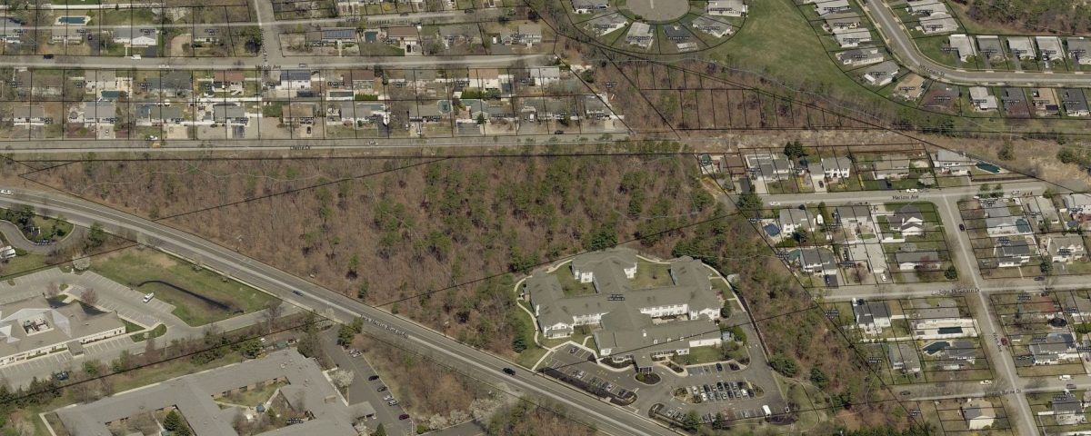
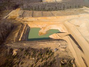
Unmanned aerial vehicles (UAVs) or drones have made significant advances recently in close-range aerial photography. Concurrently, FAA has started to loosen regulations that treated UAV’s the same as planes. We are already using drones on many new projects to produce our topographic surveys.

